
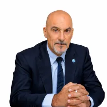
Ugo Leonardi

Technical Adviser - Head of SWALIM

Senior Geospatial and Environmental Specialist, 25+ years in remote sensing, GIS and land-cover mapping at FAO. Leads SWALIM, strengthening Somali water, land, climate and early-warning services; contributed to FAO LCCS/LCML standards, supporting national planning, disaster-risk reduction and sustainable resource management.
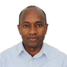

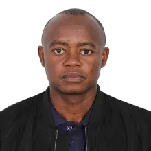
Flavian Mwenga Muthusi

Senior Hydrologist and Water Resources Specialist

Flavian Mwenga Muthusi is a Senior Hydrologist and Water Resources Specialist with nearly two decades at FAO SWALIM and over 20 years' experience in hydrology, hydromet monitoring, water resources assessment and modelling. He holds an MSc in Agricultural Engineering (Hydrology) from JKUAT.

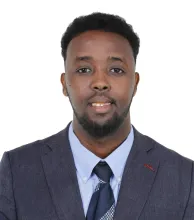
Benard Onyango

Benard Onyango

GIS Developer

Benard Onyango is a GIS Developer at FAO SWALIM with 10 years' experience in GIS, remote sensing and geospatial development. He builds geospatial platforms, automates remote-sensing workflows for drought/flood monitoring, and supports Somali institutions. He holds an MSc in GIS and is pursuing a PhD in machine learning for drought prediction.

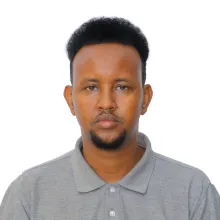
Mustafe Ibrahim

Mustafe Ibrahim Jirde

Hydro-informatics and Remote Sensing Senior Support

Mustafe Ibrahim Jirde is a Hydro-informatics and Remote Sensing Senior Support professional with FAO SWALIM, with nine years' experience in hydrology, GIS, remote sensing, DRR and Anticipatory Action. He works on flood and drought monitoring, land cover mapping and early warning, and is KCAA-licensed in drone operations. He holds two master…

Baroh

Stephen Barasa Waswa

Information and Knowledge Management Specialist

Stephen Barasa Waswa is a PMP certified Information and Knowledge Management Specialist with FAO SWALIM, with over 15 years experience in humanitarian and environmental information systems across Somalia and the Horn of Africa. He works on climate, land and water data platforms, early warning systems, geospatial tools and knowledge management.

Abdullahi Abdi Ali

Land Resources Specialist

Abdullahi Abdi Ali is a Land Resources Specialist with FAO SWALIM, responsible for land-resources data collection, analysis and dissemination. He leads land-cover mapping and field validation across Federal Member States and co-authored the FAO Land Cover Reference System for Somalia (2026). He holds an MSc in Environmental Science and Management.

Omar O.

Team Leader of Hydromet Station South Central Field Staff

Omar is a Hydromet Station Field Staff member in South Central Somalia, monitoring rainfall and river levels, maintaining river and rain gauges, checking data quality, and preparing weather and hydrological updates. Fieldwork covers Hirshabelle State and the Shabelle basin, supporting flood early warning and anticipatory action.

Mohamed Hashi

Hydrometeor Observer

Mohamed Abdullahi Hashi is a Hydrometeor Observer with a degree in Business Administration and experience in rainfall and river-level monitoring, hydrometeorological data collection, flood early warning, and field-based water-resource monitoring. My role is to work and supports disaster preparedness and informed decision-making.